80 Miles in Eight Days
Walk Grade
Distance
Duration
Itinerary:
Each morning we’ll meet at the end point of your day’s walking where there will be parking available. Here you will be joined by Walk Leaders and back-markers and driven to the start of that day’s trail to walk back to your car / transport.
At the start location we may be joined by walkers opting not to use our transport and, following a briefing for the day, the walk will begin.
Where public transport is available at start and / or end locations it is shown below as PTS (public transport available at the start) or PTE (public transport available at the end), this is based on services running as normal for the time of year.
Further information will be included in the walk information pack sent out before the walks.
Day 1 – County Gate to Porlock (Challenging)
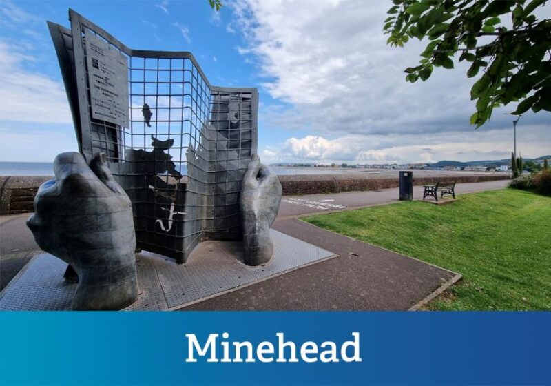
Day 2 – Porlock to Minehead (Challenging) (PTE)
Day 3 – Minehead to Watchet (Moderate) (PTS + PTE)
Day 4 – Watchet to Burton (Moderate) (PTS)
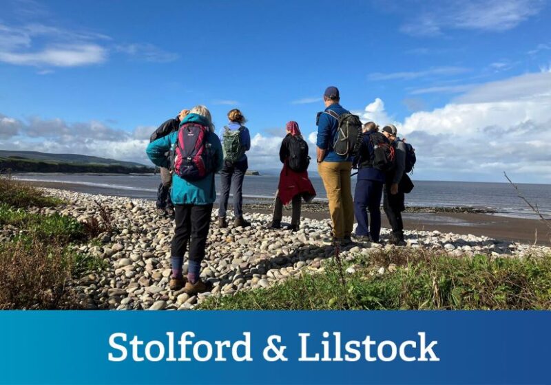
Day 5 – Burton to Steart (Moderate)
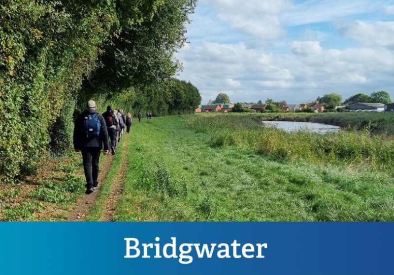
Day 6 – Steart to Bridgwater (Moderate) (PTE)
Day 7 – Bridgwater to Highbridge (Moderate) (PTS + PTE)
Day 8 – Highbridge to Brean (Moderate) (PTS)
Terrain:
Days 1 and 2 are on challenging terrain with multiple hills and remote sections of path, they have been kept shorter to accommodate this. Days 3 – 8 are on terrain that would be considered easy (flat, no stiles and only a few moderate hills), however we have classed it as moderate given the distances to be walked each day.
Notes:
Along the entire route we have arranged stamping stations and you will receive a Somerset & Exmoor Coast Trail Passport with details of the route and spaces to collect the stamps as we walk.
Due to the challenge nature of this walk and the possibility of livestock in the fields we are passing through, we have made the decision not to accept dogs on the walk.
Where
When
Cost
Themes
This is a fantastic opportunity to experience the spectacular Somerset and Exmoor coast on a journey through time and history on England’s newest National Trail – the King Charles III England Coast Path.
We begin the walk on the top of Exmoor at County Gate before following the King Charles III England Coast Path downhill to Glenthorne and continuing through tranquil woodlands with bubbling waterfalls to Culbone Church, the smallest operating Parish Church in England. We then head to Porlock Weir on paths said to have inspired Coleridge to write Kubla Khan, and cross the saltmarsh to end the day in the village of Porlock.
Leaving Porlock we head to Bossington and then up to Hurlstone Point and on to one of the most remote and wildest parts of our journey. Here rugged cliffs overlook rocky coves while Exmoor ponies graze alongside the gorse and bracken, and the sound of the red deer rut echoes across the moors in the autumn. Leaving the moors we head down winding woodland paths to reach Minehead and the end of our second day.
From Minehead we head to Watchet, passing the Iron Giant sculpture that marks the start of South West Coast Path. From Minehead we shadow the West Somerset Railway through Dunster and Blue Anchor to Watchet. These coastal towns and villages feature tales of shipwrecks and smuggling and each area has its own unique character, from old buildings and harbours to holiday beaches and cliff-top farmland.
Leaving Watchet on day four, we walk on shores that are part of the Lilstock to Blue Anchor Site of Special Scientific Interest (SSSI) with beaches and cliff formations that document our geological past. Inland there are rolling hills with manor houses and castles, medieval woodlands and villages with chocolate box cottages. Passing through Lilstock, once a thriving port, we head to Hinkley Point and then turn inland to end the day in Burton.
In day five we head back to the coast past the eastern edge of the Hinkley Point site to reach Stolford, where fishermen’s cottages are set back from the beach. From here we cross a stretch of common land to reach Steart Marshes, part of the new Somerset Wetlands National Nature Reserve. The saltmarsh here is managed wetland that provides shelter for thousands of overwintering wading birds and creates a natural sea defence against coastal flooding.
From Steart we continue our journey on the banks of the River Parrett estuary. Passing through Combwich, once part of an old pilgrims trail, we follow the river across the many channels and clyces that help to drain water from the surrounding land. Across the river we can see the next day’s journey and ahead of us is Bridgwater once a major inland port.
From Bridgwater we continue on the banks of the River Parrett on the edge of Pawlett Hams, which was once feted as the richest 2,000 acres in England. Our route takes us past an old barrage balloon hanger that was once a centre for research into anti-barrage balloon warfare. Back at the coast we head north, crossing the River Huntspill and the River Brue to reach Highbridge.
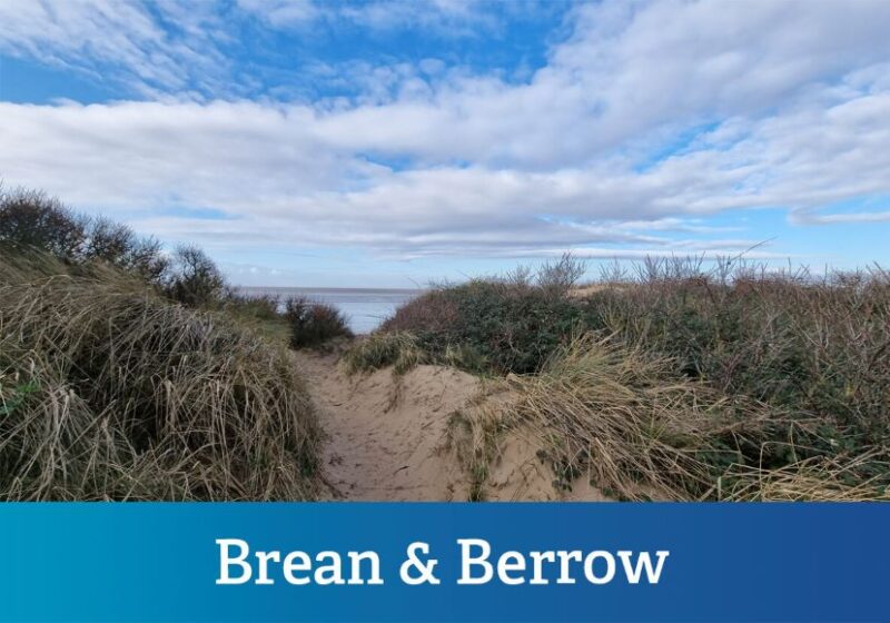
On the last day we head through Burnham-on-Sea, passing the shortest pier in England and the famous wooden ‘lighthouse on legs’ on the beach. At Berrow we pass the wreck of the Nornen and look ahead to the spectacular view of Brean Down. This natural pier marks the end of journey and the chance to celebrate the achievement.
Get in touch